The current version of the GDW database (version 1.0) aims to catalogue all types of anthropogenic instream barriers. While initial mapping efforts prioritize major dams that form reservoirs, as well as run-of-river barriers on larger rivers where more information is readily available, the dataset comprises two distinct but interconnected spatial layers:
Barrier and Dam Locations (Point Layer): Contains barrier and dam locations, geospatially referenced as point coordinates and co-registered to the global river network of HydroSHEDS.
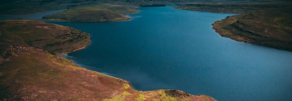
Reservoir Extents (Polygon Layer): Contains associated reservoir polygons, which includes data representing the maximum storage capacity of the reservoirs measured in million cubic meters.