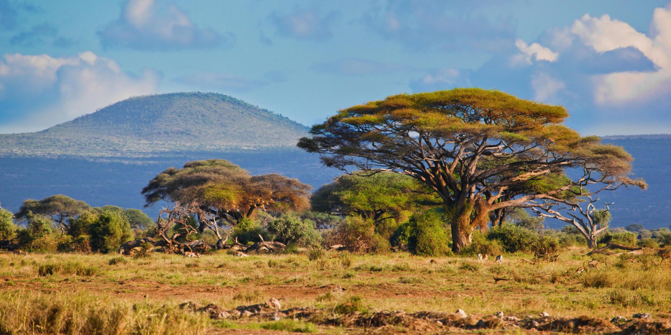
A gateway to data and information on Africa's social, economic, territorial and environmental development, developed by the Joint Research Centre of the European Commission.

This platform features Joint Research Centre (JRC) data, tools, partnerships, and stories developed in-house or with African and international partners. It provides a single entry-point to the wealth of European Commission knowledge on Africa and aims to support the European Union (EU) objective of deepening the partnership with Africa.
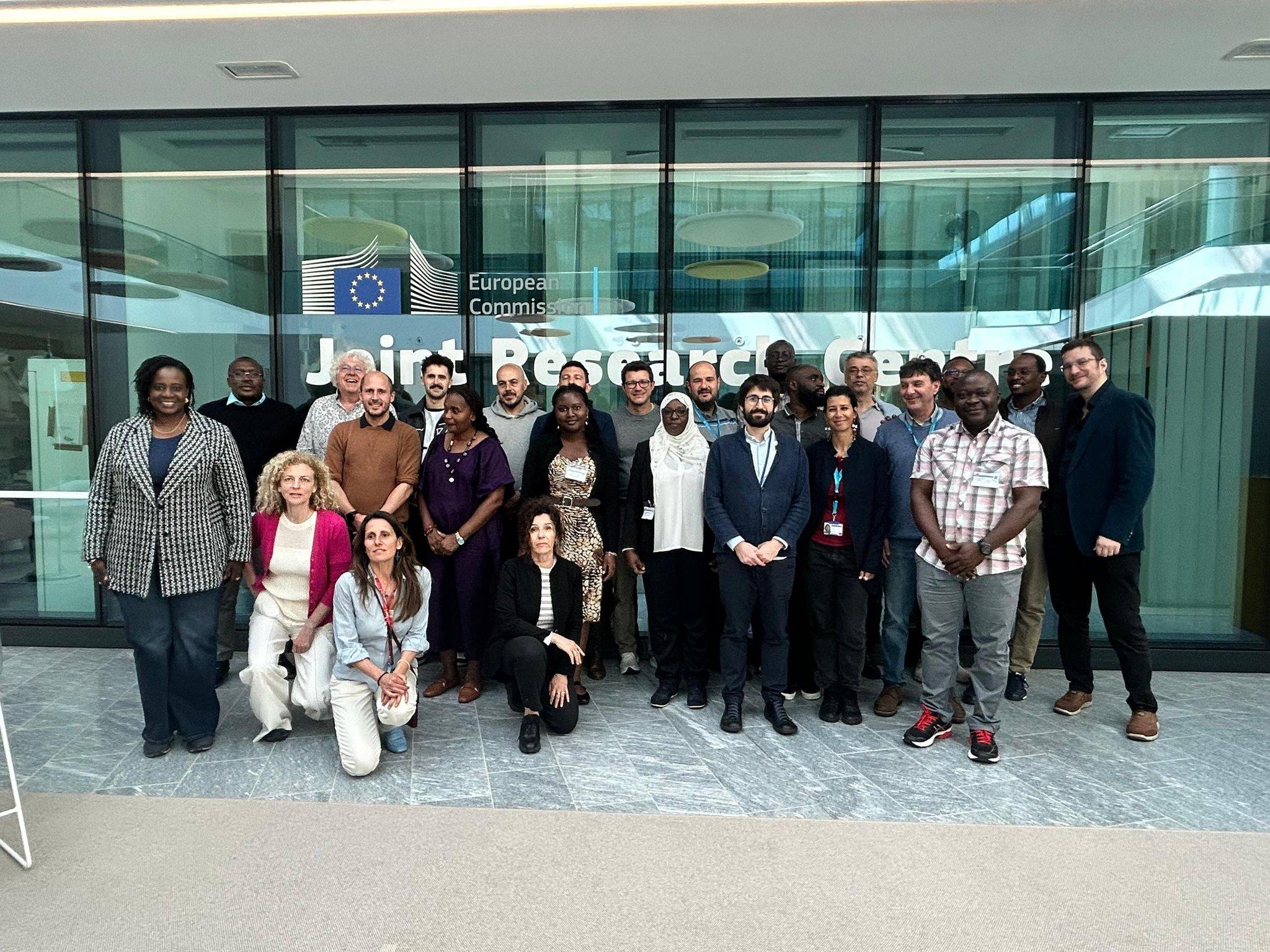
Regional Centres of Excellence for the Green Transistion Program

This platform serves as the Knowledge and Information hub for the Regional Centers of Excellence program. It underpins its Transversal component helping foster knowledge exchange and strengthen the science-policy interface, covering the priority topics linked to the Green Transition:
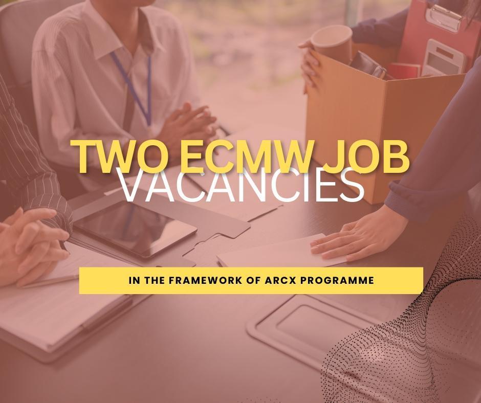
News
Our most recent posts

Jobs announcement
Two positions have been opened at the European Centre for Medium-Range Weather Forecasts (ECMWF) under the Africa Regional Centres of Excellence (ArcX) Programme funded through the...
Call for Proposals
The call for tenders to provide the technical support for the development and deployment of Ocean forecasting and support the Regional Centres of Excellence is out: Development and...
The Regional Centre for Mapping of Resources for Development (RCMRD) officially launched its mandate as a Subregional Technical and Scientific Cooperation Support Centre.
RCMRD is releasing two complementary policy briefs which, taken together, set out a single strategic ambition: to build a transnational governance framework for ecosystems based on...
The Request for Expression of Interest focusses on African–European partnership for co-designing regional pilots that demonstrate impact-based forecasting (IbF) services and tools. These...
A new StoryMap by the Regional Centre for Mapping of Resources for Development (RCMRD), presents the purpose, progress, and impact of the ArcX initiative as it works to strengthen...
For More News
What's new
Discover the latest datasets added or updated
This layer represents the estimated travel time (in hours) by foot to the nearest primary school. The accessibility map is generated using a well-established geospatial methodology that integrates roa...
This layer represents the estimated travel time (in hours) by foot to the nearest healthcare facility. The underlying methodology is described in Weiss et al. (2020), which leverages major data collec...
This layer shows the percentage of children under 5 experiencing severe wasting (in 2019) — the most critical form of acute malnutrition. These children face a significantly higher risk of mortality ...
This layer shows the percentage of children under 5 years of age (in 2019) who are underweight, based on low weight-for-age. Underweight is a composite indicator capturing both chronic and acute under...
This layer shows the prevalence of wasting among children under 5 years of age (in 2019), a sign of acute undernutrition indicated by low weight-for-height. Wasting reflects recent and severe weight l...
This layer provides estimates of the percentage of children aged 2 to 10 years (PfPR2–10) with detectable Plasmodium falciparum parasites in 2022. The estimates are generated using geostatistical mode...
Sustainable Development Goals
Select a goal to browse the related maps, tools and stories.