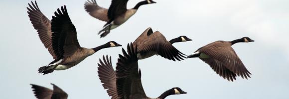
Displays areas where the geographic range of two or more endemic bird species overlaps. While many bird species are widespread, over 2,500 are endemic and restricted to an area smaller than 5 million hectares (restricted-range species). BirdLife International has mapped every restricted-range species using geo-referenced locality records. Through this process, they identified regions of the world—known as “Endemic Bird Areas” (EBAs)—where the distributions of two or more of these species overlap. Half of all restricted-range species are globally threatened or near-threatened, and the other half remain vulnerable to loss or degradation of habitat. The majority of EBAs are also important for the conservation of restricted-range species from other animal and plant groups. The unique landscapes where these bird species occur, amounting to just 4.5% of the earth's land surface, are high priorities for broad-scale ecosystem conservation. Geographically, EBAs are often islands or mountain ranges, and vary considerably in size, from a few hundred hectares to more than 10,000,000 hectares. EBAs also vary in the number of restricted-range species that they support (from two to 80). EBAs are found around the world, but most (77%) of them are located in the tropics and subtropics.
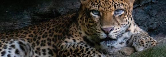
Where are the best places to spot the most requested wildlife-watching species? This grid layer presents a richness index of top wildlife watching species/groups, including rhinos, elephants, lions, leopards, buffalos, giraffes, lowland and mountain gorillas, chimpanzees, bonobos, sifakas, ringtails, aye-aye, mouse lemurs and colobus.
The availability and quantity of observational species occurrence records have greatly increased due to technological advancements and the rise of online portals, such as the Global Biodiversity Information Facility (GBIF), coalescing occurrence records from multiple datasets. Funded by the world's governments, this international network and data infrastructure is aimed at providing anyone, anywhere, open access to data about all types of life on Earth. This map displays all the observations reported to the GBIF from 1600 to present. This knowledge derives from many sources, including everything from museum specimens collected in the 18th and 19th century to geotagged smartphone photos shared by amateur naturalists in recent days and weeks. Individual records are available at https://www.gbif.org