Africa is very rich in biodiversity and is the last place on Earth with a significant assemblage of large mammals. This natural richness, accumulated over millions of years, coupled with the wealth of indigenous and local knowledge on the continent, is central to the pursuit of sustainable development in the region. Yet the decline and loss of biodiversity is reducing nature’s contributions to people in Africa, affecting daily lives and hampering the sustainable social and economic targets set by African countries. This map shows the number of threatened mammal species by country, assessed by the International Union for the Conservation of Nature (IUCN) and documented in the IUCN Red List of Threatened Species. Established in 1964, the IUCN Red List is a critical indicator of the health of the world’s biodiversity that helps inform necessary conservation decisions.
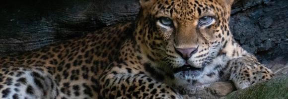
Where are the best places to spot the most requested wildlife-watching species? This grid layer presents a richness index of top wildlife watching species/groups, including rhinos, elephants, lions, leopards, buffalos, giraffes, lowland and mountain gorillas, chimpanzees, bonobos, sifakas, ringtails, aye-aye, mouse lemurs and colobus.
The IUCN IMMA layer identifies specific habitat areas crucial for one or more marine mammal species, which may be suitable for conservation through delineation and management. IMMAs represent regions that could benefit from targeted protection and/or monitoring. They serve as a marine mammal data layer highlighting important biodiversity, and potentially ecosystem health, which can be prioritized for protection and management by governments, intergovernmental organizations, conservation groups, and the public.
The availability and quantity of observational species occurrence records have greatly increased due to technological advancements and the rise of online portals, such as the Global Biodiversity Information Facility (GBIF), coalescing occurrence records from multiple datasets. Funded by the world's governments, this international network and data infrastructure is aimed at providing anyone, anywhere, open access to data about all types of life on Earth. This map displays all the observations reported to the GBIF from 1600 to present. This knowledge derives from many sources, including everything from museum specimens collected in the 18th and 19th century to geotagged smartphone photos shared by amateur naturalists in recent days and weeks. Individual records are available at https://www.gbif.org