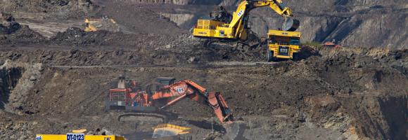
This data set provides spatially explicit estimates of the area directly used for surface mining on a global scale. It contains 44,929 polygon features, covering 101,583 km² of land used by the global mining industry, including large-scale and artisanal and small-scale mining. The polygons cover all ground features related to mining, .e.g open cuts, tailing dams, waste rock dumps, water ponds, processing infrastructure, and other land cover types related to the mining activities.
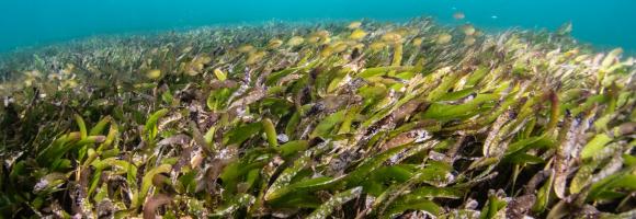
Seagrass is found on all continents except Antarctica, covering roughly 0.1% of the ocean floor. However, its global extent remains inadequately mapped, with estimates varying between 160,387 km² and 670,000 km², posing a significant challenge for conservation efforts. The UNEP-WCMC seagrass dataset indicates that Africa harbors approximately 12% of the world’s seagrass.
Mining has major economic, environmental and societal consequences, yet knowledge and understanding of its global footprint are still limited. These polygons represent the global mining land use detected via remote sensing analysis of high-resolution, publicly available satellite imagery. The dataset comprises 74,548 polygons, covering ~66,000 km2 of features like waste rock dumps, pits, water ponds, tailings dams, heap leach pads and processing/milling infrastructure.