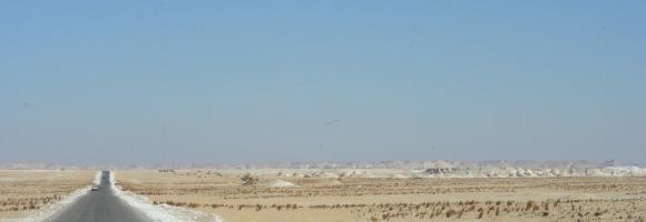
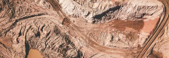
The world is shrinking. Cheap flights, large scale commercial shipping and expanding road networks all mean that we are better connected to everywhere else than ever before. Accessibility - whether it is to markets, schools, hospitals or water - is a precondition for the satisfaction of almost any economic need. The new map of Travel Time to Major Cities -developed by the European Commission and the World Bank- captures this connectivity and the concentration of economic activity. It also highlights that there is little wilderness left. The map shows the travel time (in hours/days) to major cities (i.e. cities of 50,000 or more people in year 2000) using land (road/off road) or water (navigable river, lake and ocean) based travel.
This layer represents the estimated travel time (in hours) by foot to the nearest healthcare facility. The underlying methodology is described in Weiss et al. (2020), which leverages major data collection efforts from OpenStreetMap, Google Maps, and academic sources to compile the most comprehensive global inventory of healthcare facility locations to date. The approach is based on the creation of friction surfaces that quantify the time required to traverse each ~1 km × 1 km pixel of the Earth's surface.
This layer represents the estimated travel time (in hours) by foot to the nearest primary school. The accessibility map is generated using a well-established geospatial methodology that integrates road and rail networks, land cover, and topographic features. The resulting gridded "friction surface" represents the time required to traverse each ~1 km × 1 km pixel of Africa.
This dataset maps the critical structural and tectonic features across Africa that serve as key indicators for geothermal resource potential. These layers delineate "fault/fracture zones" which are considered a primary geothermal resource play type for both magmatic and non-magmatic settings.
The layers in the dataset are:
Active faults (BGS) – derived from the Trans-African Regional Geo-data for the Energy Transition (TARGET) model of the British Geological Survey;
Active Faults GEM) – compilled as part of the GEM's global Probablistic Seismic Hazard modeling efforts;
Major faults – derived from the Trans-African Regional Geo-data for the Energy Transition (TARGET) model of the British Geological Survey;
Major faults - East-African Rift System - showing the location of major faults in the East-African Rift System, derived from Chrowicz (2005), part of the East African Rift Temperature and Heat flow model (EARTH).
These fault layers are crucial for characterizing subsurface hydraulic properties. Specifically, the dataset's features are utilized to:
Determine Permeability and Transmissivity: Active fault zones are modeled to have high fault/fracture permeability, accounting for a hydraulic transmissivity of 20 Darcy-meters up to a depth of 3 km.
Define Reservoir Thickness: For performance calculations, the corresponding "aquifer" permeability within these active fault zones is set to 10,000 mDarcy with an assumed thickness of 20 meters.
Model Geothermal Production: These structural features are integrated into the "resource fast model" as thin reservoirs for geothermal doublet systems (systems with at least one production and one injection well) situated in fractured basement or sedimentary rock.
Support Spatial Analysis: The locations of these active faults are rasterized and combined with 3D temperature grids (where magmatic areas and active volcanoes exhibit elevated heat production) to calculate local geothermal energy conversion scenarios across the continent.
Average time spent by households on fuel collection daily. The higher the number of daily hours that households spend in collecting fuel, the higher the improvements in the quality of life of communities due to electricity access.