Skip to main content
EU Science Hub
Africa Knowledge Platform
Main navigation
Home
Datasets
Tools
Stories
Partners
Countries
Tutorials
ArcX
Africa Land Surface Forms
Africa Land Surface Forms
Dataset
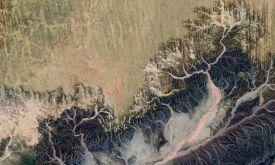
The land surface forms were identified using the method developed by the Missouri Resource Assessment Partnership (MoRAP). The MoRAP method is an automated land surface form classification based on Ha...
Related Policies
SDG Goal 13
Related Topics
Food and Agriculture
Land Use in Agriculture
Select for mapping
Read more
Main navigation
User account menu
Language
Main navigation
Home
Datasets
Tools
Stories
Partners
Countries
Tutorials
ArcX
User account menu
Language
en