This dataset represents a geographic clip to Africa of the
World Database on Protected Areas (WDPA),
which is the authoritative and most complete global dataset on terrestrial and ...
All known formal and informal settlements of forcibly displaced and stateless people in Africa from UNHCR’s GIS database as of November 2025. Population in the settlement. It may include several cate...
Protected areas in Africa play a critical role in biodiversity conservation, supporting livelihoods, and mitigating climate change. This tool offers a comprehensive analysis of the dynami...
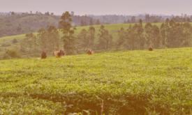
Presenting the eStation, a software deployed in Africa to acquire and process Earth Observation data, and two of its applications for fishing (in Tanzania) and farming (in the Sahel).
...
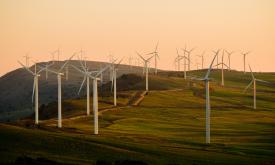
The Clean Energy Access Prioritiser (CEAP) is an open-source decision-support tool designed to identify priority areas for clean energy interventions and investments. ...
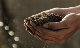
This dataset provides projections of global rainfall erosivity changes, a critical metric representing the erosive force of rainfall that drives worldwide soil and nutrient loss. These maps serve as e...
Forests worldwide are in a state of flux, with accelerating losses in some regions and gains in others. Given the recognized importance of forest ecosystem services, quantification of global forest ex...
Africa is projected to have the fastest urban growth rate in the world — by 2050, Africa’s cities will be home to an additional 950 million people. Urban planning and management are essential developm...
Forests worldwide are in a state of flux, with accelerating losses in some regions and gains in others. Given the recognized importance of forest ecosystem services, quantification of global forest ex...
Forests worldwide are in a state of flux, with accelerating losses in some regions and gains in others. Given the recognized importance of forest ecosystem services, quantification of global forest ex...