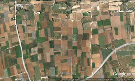
Habitat fragmentation occurs when natural habitat is broken up by non-natural land uses. For this layer, land fragmentation is expressed as the Natural Land Cover Pattern Index (NLPI), which classifie...
By detecting areas where agricultural production deficits might occur, it is possible to prevent food security crises and anticipate response planning. To do this, we need accurate and reliable inform...
How do development projects influence the geographic distribution of economic activity within low-income and middle-income countries? Existing research focuses on the effects of Western development pr...
Food crisis response planning can save lives if put in place in a timely manner. To do this, decision makers must be warned of climate extreme events impacting agricultural production. The Anomaly hot...
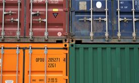
Raw materials are essential for the sustainable functioning of modern societies and their industries. The European Commission's Raw Materials Information System (RMIS) is developed by the Joint Resear...
Raw materials are essential for the sustainable functioning of modern societies and their industries. The European Commission's Raw Materials Information System (RMIS) is developed by the Joint Resear...
Food crisis response planning can save lives if put in place in a timely manner. To do this, decision makers must be warned of climate extreme events impacting agricultural production. The Anomaly hot...
Food crisis response planning can save lives if put in place in a timely manner. To do this, decision makers must be warned of climate extreme events impacting agricultural production. The Anomaly hot...
By detecting areas where agricultural production deficits might occur, it is possible to prevent food security crises and anticipate response planning. To do this, we need accurate and reliable inform...
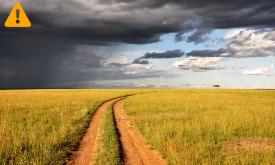
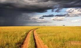
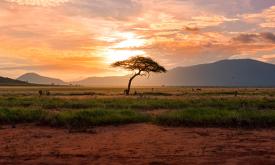
Some areas in Africa represent spectacular, still viable examples of Africa’s wildlife and wild places. They are of such outstanding importance and value that they should be conserved at all costs and...
Priority areas are identified using local coefficients estimated through Geographically Weighted Regression (GWR), which measures the spatially varying relationship between access to sanitation and fo...
Priority areas are identified using local coefficients estimated through Geographically Weighted Regression (GWR), which measures the spatially varying relationship between access to electricity and f...
Priority areas are identified using local coefficients estimated through Geographically Weighted Regression (GWR), which measures the spatially varying relationship between access to piped water and f...
This dataset represents a geographic clip to Africa of the
World Database on Protected Areas (WDPA),
which is the authoritative and most complete global dataset on terrestrial and ...
This spatial dataset contains the geographic boundaries and ecological evaluations of 45 Key Landscapes for Conservation and Development (KLCDs) across Sub-Saharan Africa. Building on the K...