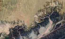
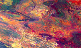
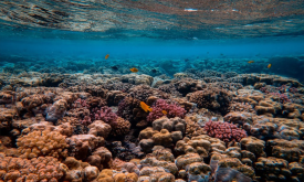
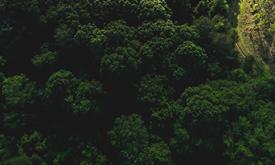
This map provides a spatially explicit characterization of 47 terrestrial habitat types, as defined in the International Union for Conservation of Nature (IUCN) habitat classification scheme, which is...
The Africa Topographic Potisiont layer classifies the African landscape (including Madagascar, Comoros Islands, and other coastal Islands near continenal Africa) into uplands and lowlands/depressions ...
HydroBASINS is a global, vectorized layer of hierarchically nested sub-basin boundaries. It provides seamless coverage and uses the 'Pfafstetter' coding system offering a 12 scales breakdown to enable...
The Dead Wood Carbon and Litter Carbon pools have been estimated at global level as constant fractions of ESA Biomass CCI Above Ground Biomass (AGB), v.3 (2018) using a lookup table based on global ec...
The Dead Wood Carbon and Litter Carbon pools have been estimated at global level as constant fractions of ESA Biomass CCI Above Ground Biomass (AGB), v.3 (2018) using a lookup table based on global ec...
Critical natural assets are defined as the natural and semi-natural terrestrial and aquatic ecosystems required to maintain 12 of nature’s ‘local’ contributions to people (local NCP) in the ocean (blu...
Critical natural assets are defined as the natural and semi-natural terrestrial and aquatic ecosystems required to maintain 12 of nature’s ‘local’ contributions to people (local NCP) on land. 12 Local...
The conservation analyst is a web-based tool that integrates and weighs multiple criteria for spatial conservation planning allowing for the identification and selection of unprotected la...